Table Mountain
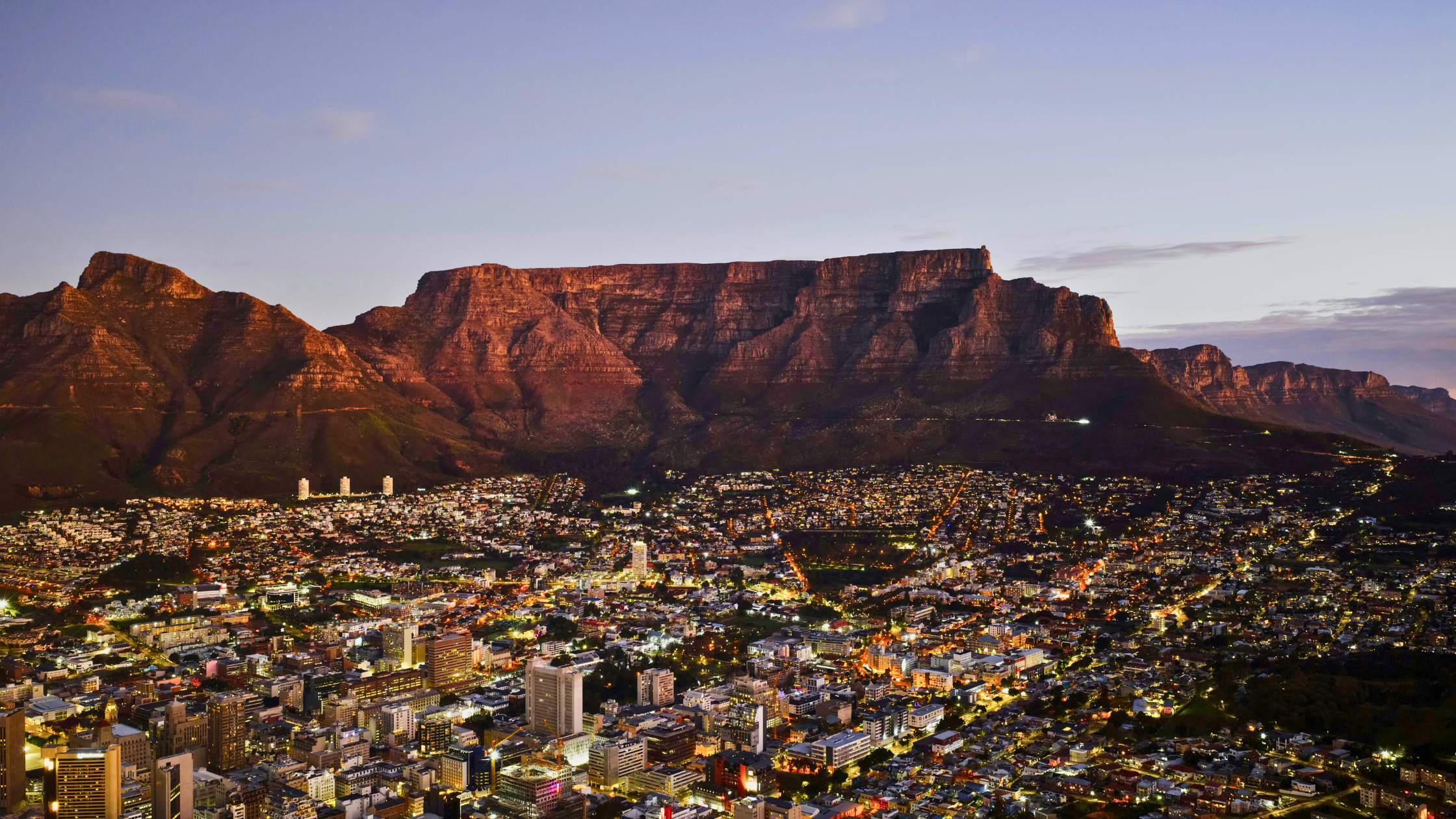
Table Mountain is not Flat
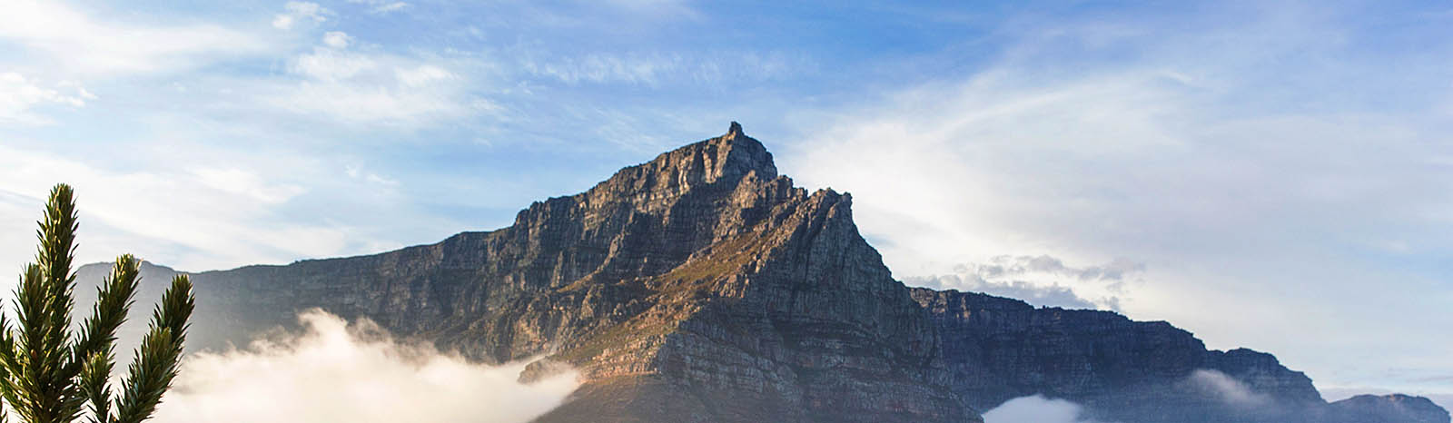
Surrounding the familiar ‘flat’ plateau of Table Mountain, featured in so many photographs of Cape Town are numerous cliff faces, ledges and clefts, with severe climbs and drops that can prove extremely dangerous and for someone who is not familiar with the territory.
Behind the front table are peaks and valleys, some of which are easily accessible via a network of paths and some of which require significant skill and understanding. The main paths are marked only at the major intersections. In darkness, misty, cloudy or rainy weather, distinct pathways can disappear, and it is easy to mistake minor paths or lookout points for your actual route. When planning a Table Mountain hike, anyone not familiar with the paths should go with a professional guide, a hiking club or someone who really does know the route – never hike in a group of less than four and follow the common sense safety rules .
The routes covered below are our most popular guided routes to the Upper Cable Station. They are not route descriptions but an overview of what you can expect. Of course it is also possible to take the easier option of the Cableway to the top and walk around the well marked paths of the Western Table in the vicinity of the Upper Cable Station. Venturing further should be carefully considered, particularly in the frequent ‘Table Cloth’ cloud cover which can appear without warning.
Read more: Table Mountain definition and facts:
For our description of Table Mountain hikes we define the area surrounded by the City, Sea Point, Camps Bay, Hout Bay and the Southern Suburbs as defined in the definitive hiking maps produced by Slingsby Maps. The routes described are hiking paths from various points at the base of the Mountain, to the Upper Cable Station. It is also possible to take the cableway to the summit and explore the ‘flat’ Central and Western Table overlooking the City and Peninsula, as well as the immediately adjacent valleys.
Table Mountain National Park is 221 square kilometers (85000 sq miles), covering the area between the City Centre of Cape Town and Cape Point in the Cape of Good Hope. It is a 60 km road trip and 80 km following mountain hiking paths. Only a small portion of this is generally recognized at the iconic ‘flat table’ of Table Mountain.
- 1084 metres at it’s highest point, Maclear’s Beacon
- 1067 metres at the Upper Cable Station.
- The plateau at the top is approximately 3 km long, divided into the Western and Eastern Tables, separated by Platteklip Gorge.
- It is less than 2km wide at the widest point. The ‘table’ faces north and the 3 km plateau is orientated east to west.
- There are over 250 km of paths between the highest point and the surrounding access points, most of the paths have no consistent signage.
Classic routes to the Upper Cable Station